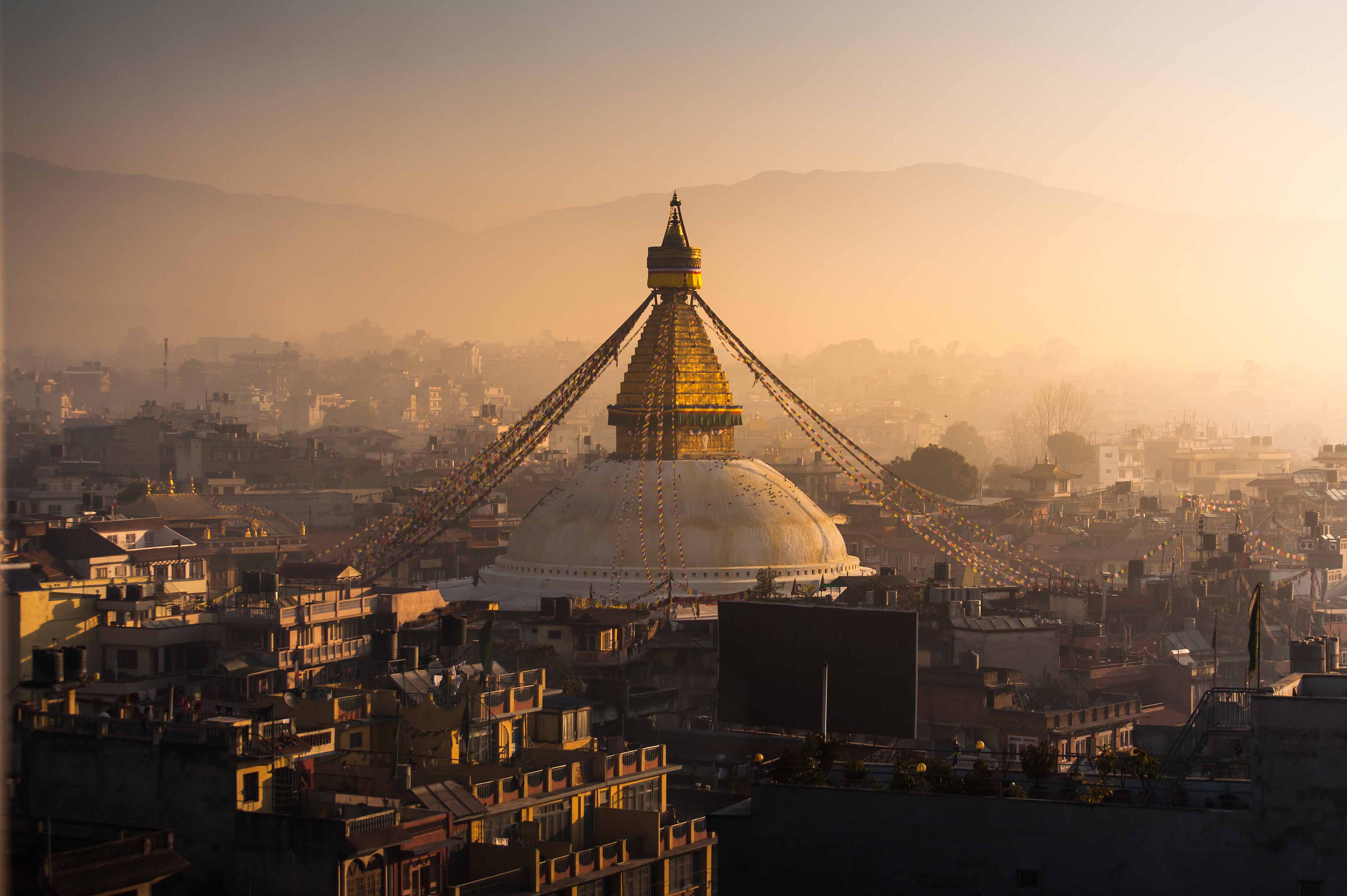
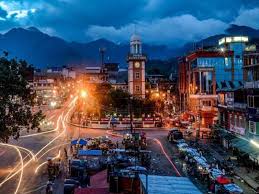
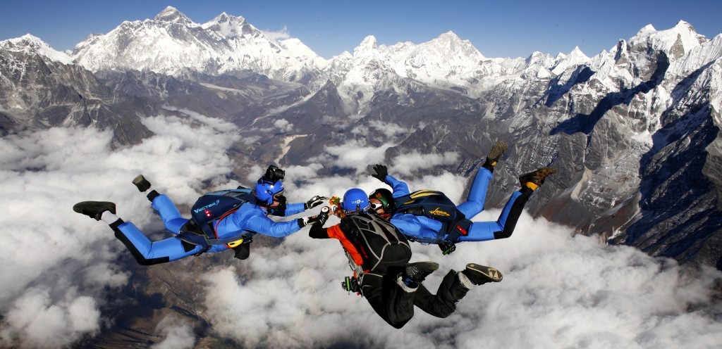
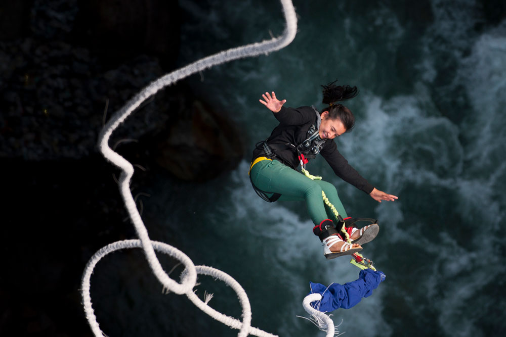
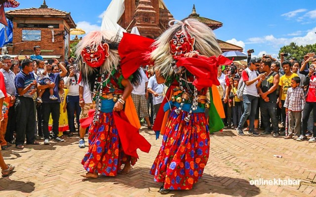
- Explore Nepal
- Understand Nepal
- Get Inspired
-
Plan Your Trip
Travel Information
Book Your Trip
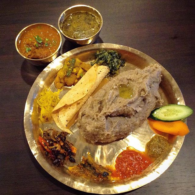
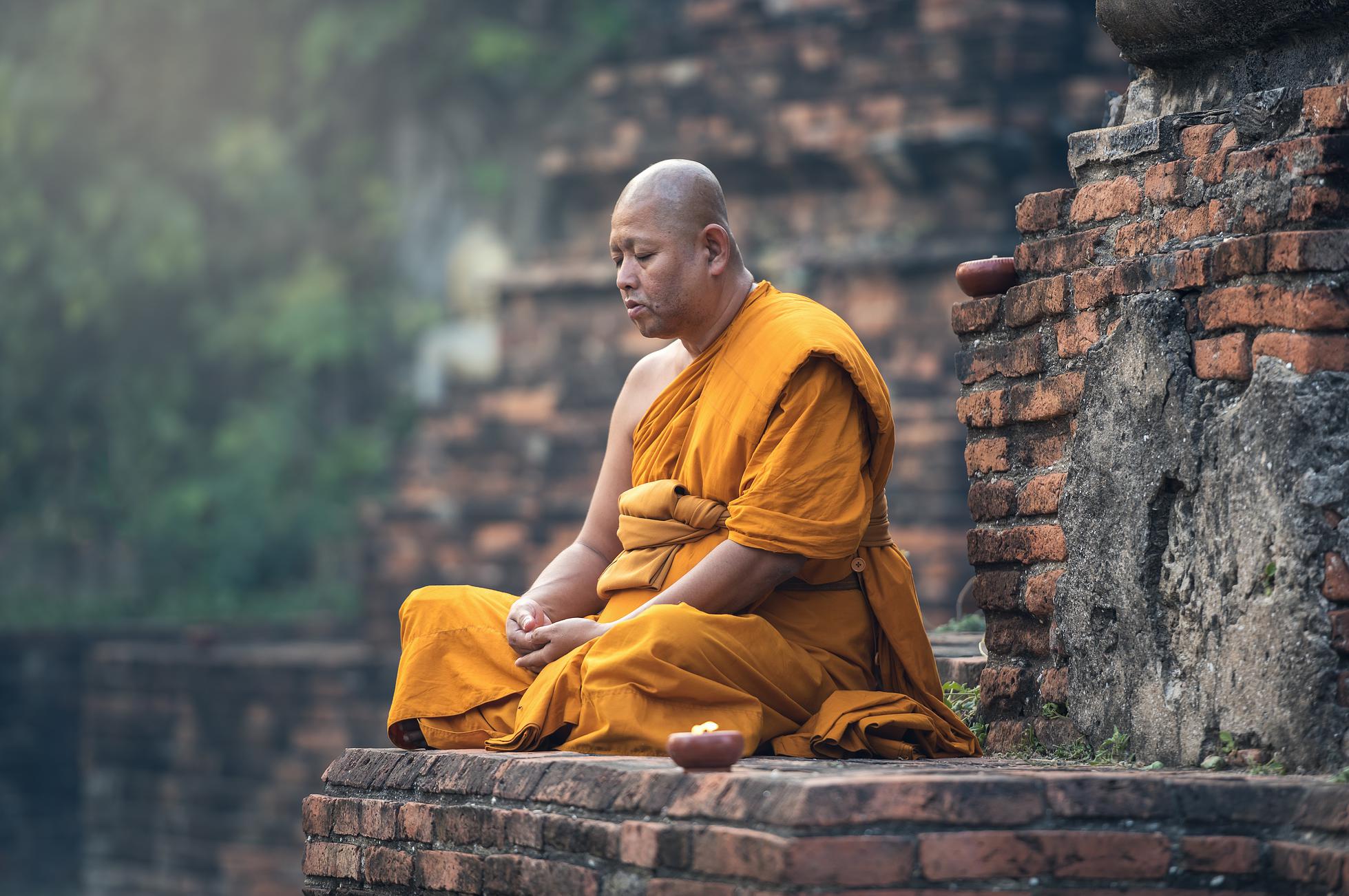
- Gallery

Understand Nepal > national parks & conservation areas > Makalu Barun National Park
Makalu Barun National Park
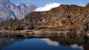
One of the jewels of Eastern Nepal, Makalu Barun National Park, a conservation area previously, was established in 1992. Covering an area of 1500 km2 of Sankhuwasabha and Solukhumbu districts, the park's buffer zone area is 830 km2. The park is under administration and management of the Department of National Parks and Wildlife Conservation. The interesting fact about the park is that it is the only park protected area in the world with an elevation gain of 8,000 m.
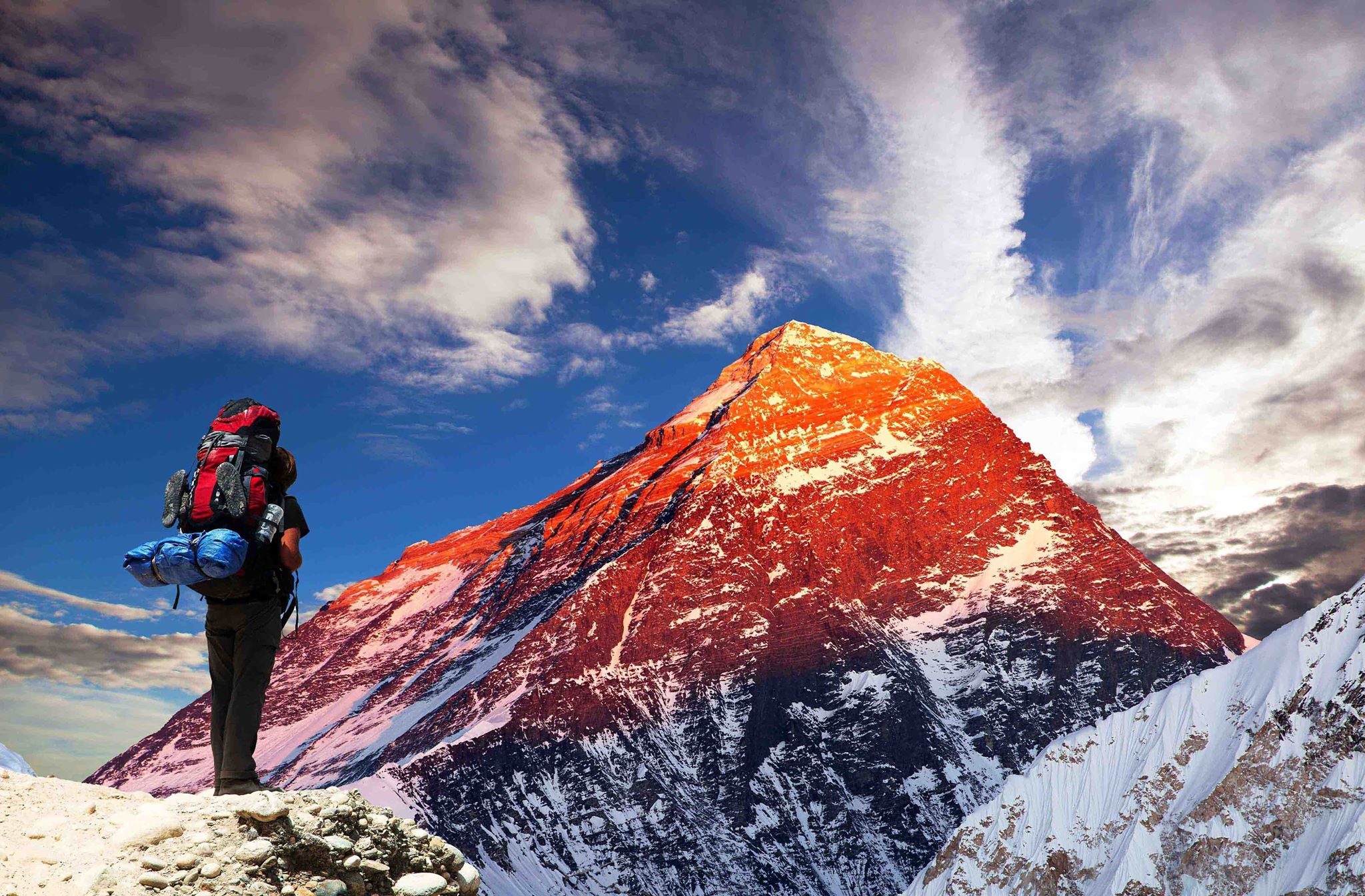
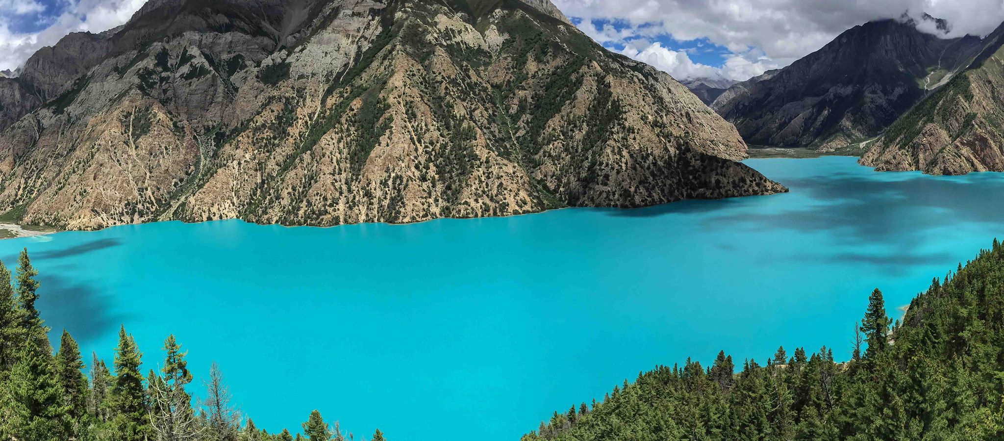
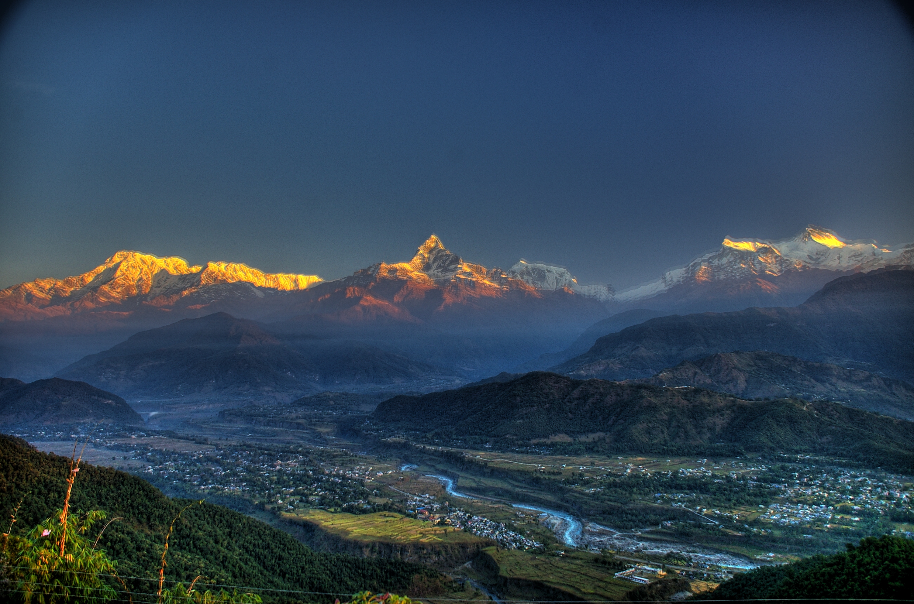
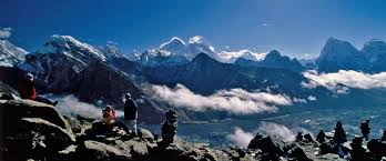
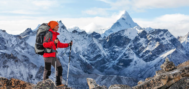
With the Government of Nepal and The Mountain Institute, the conservation model is innovative and integrates the management of protected areas and the community's development. The park has tropical forests along the Arun River up to the icy mountains. The star attraction of the park is the panoramic views of the rugged Himalayas, including Mount Makalu (8,463 m), Mount Chamlang (7,319 m), Mount Baruntse (7,129 m), and Mera Peak (6,654 m).
Falling in the eastern Himalayan climatic regime, the monsoon in the park begins from June and stays until late September. With more than 70% precipitation, the climate of the park is defined as a monsoon type. Due to drastic differences in the altitude, slope, and area, the temperature and precipitation vary remarkably. The best time to take a tour of the park is during Spring and Autumn seasons.
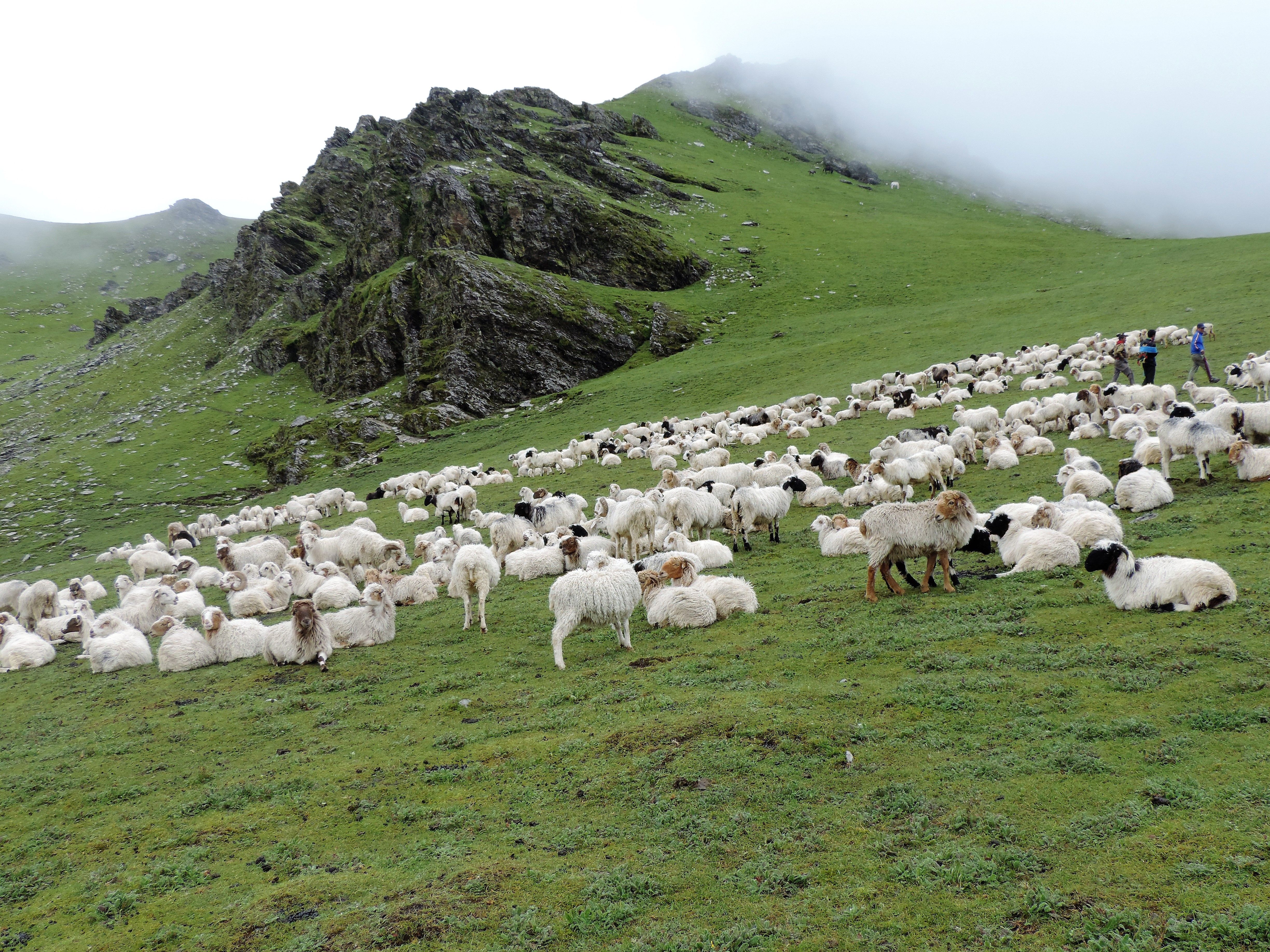
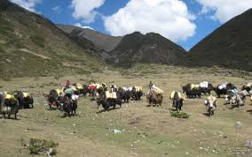
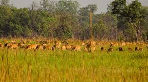
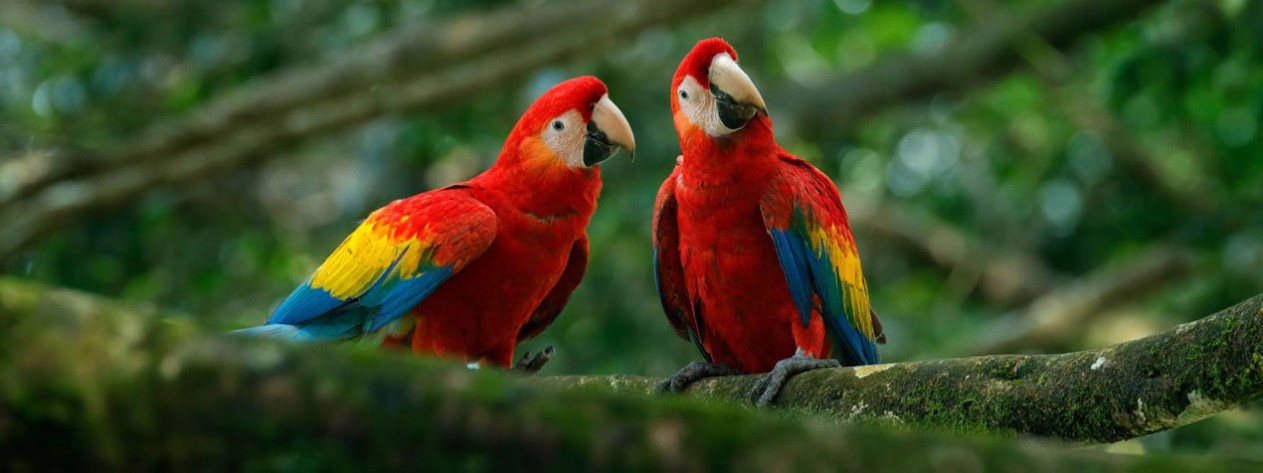
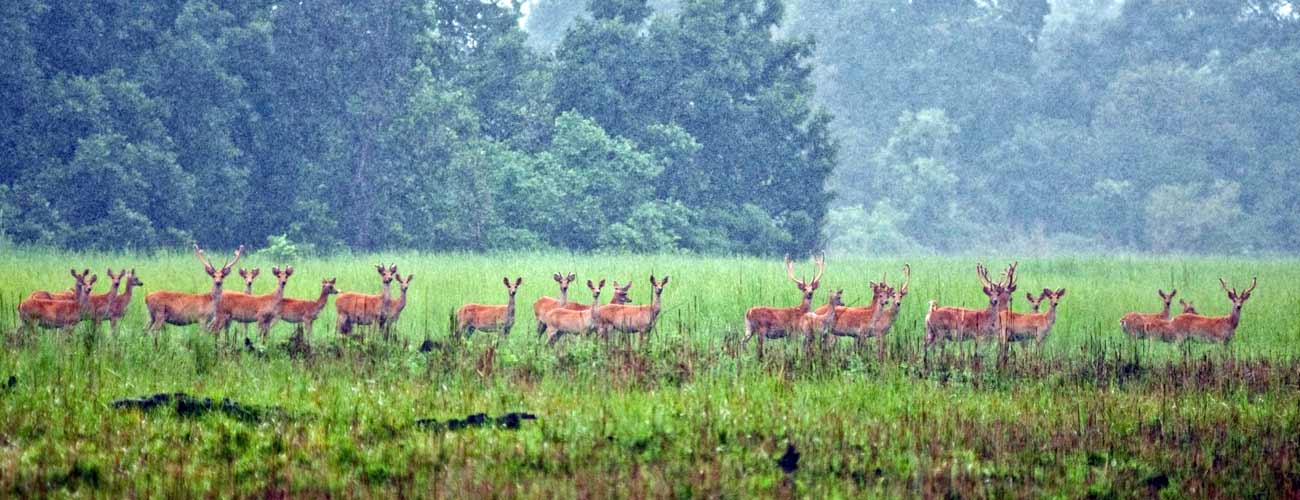
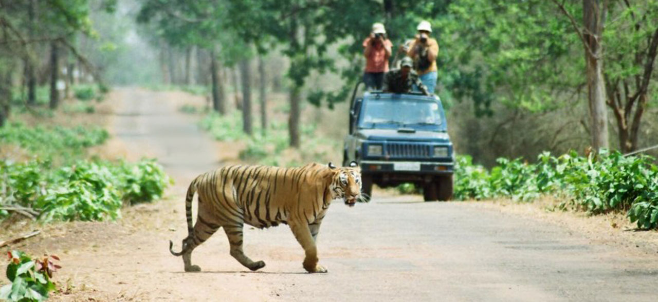
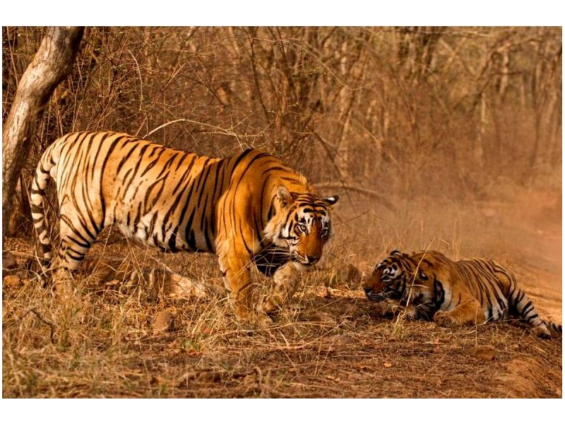
Famous for diverse species of plants, the park is home to 25 species of rhododendron (national flower of Nepal), 47 types of orchids, and 56 types of rare plants. Out of more than 600 species of wildlife in the park, the rare and important ones are Snow leopard, musk deer, red panda, wild boar, etc. Bird species like rose-ringed parakeet is seen in the park along with other exotic birds. Without a doubt, the park is a paradise for wildlife and vegetation enthusiasts, birdwatchers, researchers, and photographers.
To reach the park, one can fly to Tumlingtar from Kathmandu Airport or take a bus from Biratnagar or Dharan to Tumlingtar. The trekking begins from Hile to reach Tumlingtar in 3 days. The headquarter of the park lies in Murmidanda Seduwa. Porters can use four different shelters inside the park for sleeping purposes.
Because of rocks in the trails, the rain makes it slippery. The high passes and altitude areas are covered with snow during winter until May. The path between Mumbuk and Yangle Kharka is the most hazardous as the rocks are unstable and can fall anytime. Trekkers should move quickly in this area and be attentive to the stones. Another risking factor in the region is altitude sickness. One should take proper precautions for that.
Campsites in seven different destinations, including Khongma, Dobato, Yangle, Neghe, Langmale, and Shershong, are available. Camping during harsh winter and monsoon is impossible and dangerous. Do not forget to carry trekking poles, sturdy footwear, and every trekking gears and visit the park by being self-sufficient. The park is perfect for the wanderers seeking an ultimate adventure into the unexplored and virgin region.